I know it's very early in the game, but I would say today's hike is going to be hard to beat. The trail beginning at the Grace Coolidge walk-in fishing area in Custer State Park was pleasant and beautiful. I would agree with the trail's "easy" rating. Much of the terrain was quite flat. The fifteen creek crossings proved to be the greatest challenge, but each had stones and/or logs on which to step. The sign at the trailhead guaranteed we'd get wet at these crossings, but clearly that warning doesn't apply to expert hikers like us.
We saw and heard more wildlife on this hike than on the first two, which I appreciated. There were more birds including a lone turkey hen. We also saw many small fish in the creek, two marmots, and seven small snakes. A rattlesnake encounter is probably my top concern when hiking the Hills, but the snakes we saw today were very nonthreatening.
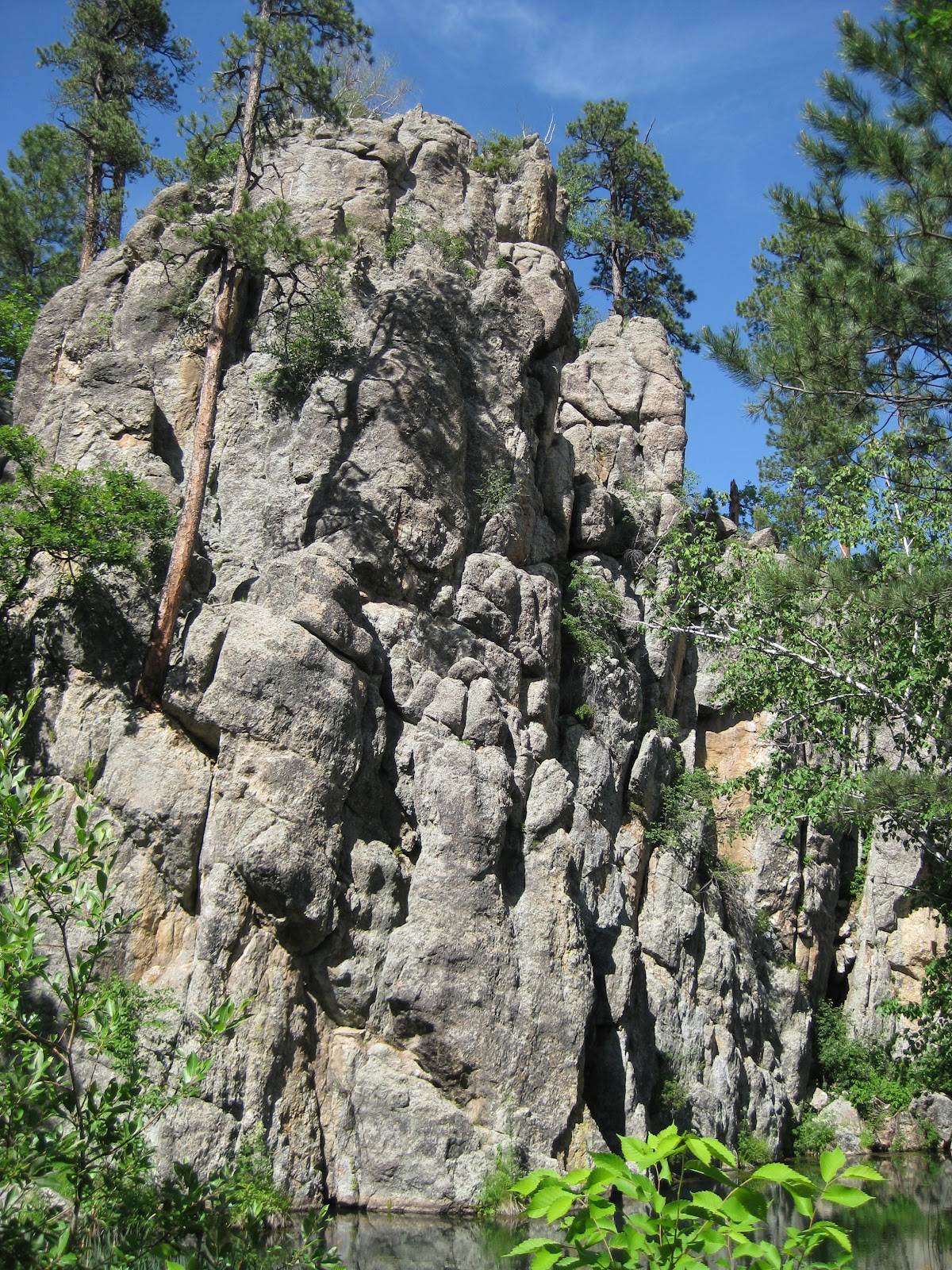
Pamela and I agree our home areas farther east in South Dakota and Iowa can provide breathtaking views (Side note: If you haven't before, you must watch a thunderstorm roll in across the prairie and get lost in the millions of visible stars in the enormous night sky.), but being surrounded by the combination of water, rock, and lush vegetation this time of year in the Hills is something very special. The photos we took can only give you a taste of that experience. I would recommend everyone who lives in or visits the Black Hills enjoy this trail. You can go for a short hour or two walk, or spend a long afternoon fishing the creek. It's accessible for anyone and will not disappoint.
Total Distance: 6.38 miles
Elevation Gain: 1,989 feet
Max. Elevation: 4,725 feet
Total Time: 2 hours, 18 minutes
(most of our stationary time was spent examining creek crossings)
Moving Time: 1 hour, 44 minutes
Average Moving Speed: 3.65 mph


I decided to walk out over the creek on this fallen tree just for fun.

It turned out to be less fun than I anticipated.

Most creek crossings have plenty of stones to provide relatively simple routes across. At no point was the water more than ankle deep.


Log bridges were also present at some crossings but tended to appear less trustworthy.


The largest snake we saw was only about a foot long. They were all hanging out in or near the creek.


The trail was generally clear and easy to follow, but obstacles like this are to be expected from time to time.


I don't believe this service road is part of the official trail, but we followed it about 1/2 mile to the top of a ridge.


Can you see the turkey?


i can't find the turkey!!! Where is it?
ReplyDeleteHaylee, it's just to the left of the trail. You'll have to enlarge the picture and look closely.
Delete