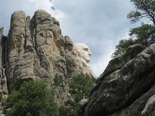
This trail was full of ups and downs, both literally and figuratively. To begin with, our guide book had us begin across the highway from the Mt. Rushmore parking lot. That was all fine and good, except that we discovered later we could have parked for free at the Horsethief Lake trailhead two miles down the road. On the plus side, we were able to park out of the sun, and to be honest, the trail was probably better going north.
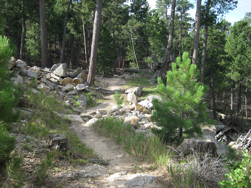
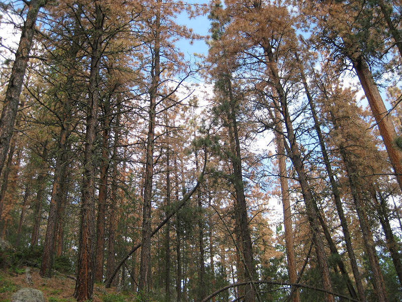
The start of the hike was nothing to write home about (catch the irony here?). The trail itself was steep and rocky. In many places it had washed out making it muddy and precarious. We hesitantly tiptoed our way down like a feeble elderly couple. A broken hip was certainly not out of the question. Unfortunately, the scenery at this point was disappointing, to say the least. Some live ponderosa trees still stood, but many had been cut down and piled every few yards. All I can say is I'm glad I didn't get stuck with that job.
But as the trail descended, our spirits rose. Before too long, the dreary brown branches and gray stone disappeared behind thick walls of green. It was like entering an entirely different world. Having never been to a rainforest, I can only imagine how it would look. This must be as close as you'll find naturally occurring in South Dakota. There were lovely ferns and flowers covering the ground, moss-covered rocks and logs, and a variety of trees reaching skyward. Sadly, there was a surprising absence of wildlife. Only a few birds and an occasional chipmunk were seen. Monkeys and a toucans would have made it much more interesting. On the other hand, there was one form of life present that made this part of the hike much less enjoyable...mosquitoes. I still have some smeared across my arms and legs.
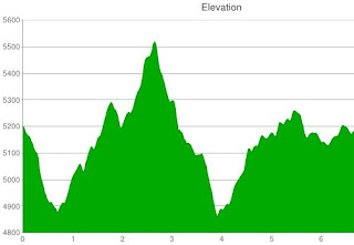
Knowing that we were headed to Horsethief Lake, we assumed we would follow the nearby stream gradually downward. Man, were we wrong! As you can see from the chart below, we had a BIG challenge ahead of us. This trail was definitely not designed with efficiency in mind. Switchbacks were common, and we had to climb several ridges, each time saying, "This is probably the last one." As we went up and down and around, we came across new highlights and letdowns. In some areas, all the pines were dead. But those same areas also included large rocky peaks which provided fun climbing and more appealing views of distant hillsides. Going downhill was always welcome until we realized we were quickly heading back up. Even though our final destination was about 350 feet lower than our starting point, our route took us up more than 700 feet!
All this time, we kept referring to our book to be sure we were actually on the right path. I don't know exactly what resources and equipment the Gildarts had when they hiked these trails in the early 2000s, but it gave them significantly different stats than Pamela's cell phone gave us. According to our guides, we were to come to the Horsethief Lake Trail junction approximately two and a half miles into our trek. We mapped it closer to four. Please understand that Pamela and I have nothing personal against the Gildarts, but somewhere around mile 3.5, we agreed had they been there with us, we might have kicked them in the shins.
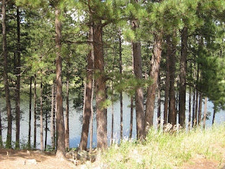
Eventually we did find our final trail segment which proved to be very pleasant. This time it did follow the creek. The steep bordering cliffs, lush vegetation, small waterfalls, and best of all, cool temperatures, created the perfect hiking environment. Finally we reached Horsethief Lake, an equally picturesque location. Had we not already been more than hour behind our expected arrival time, we would have likely spent more time here.
Of course, reaching the lake didn't bring our hike to an end. Now, we had to get back to Mt. Rushmore. In consideration of time, we decided we would take highway 244 back up. It was surely quicker and easier than going back on the trail. The only disadvantage was the heat. Walking on asphalt without the shade of the trees was considerably hotter than our hike down. Nonetheless, we maintained positive attitudes. Well, perhaps I should say I maintained a positive attitude. Pamela might say I was loosing my mind. I'll let you look a the picture and decide for yourselves. At any rate, we made it back to the parking lot without the assistance of any passing vehicles.
Even though it didn't go quite the way we thought it would, we were both very happy with this trail. We covered more ground both vertically and horizontally on this hike than any we've done so far, yet we maintained a strong pace and felt better at the end than we have after others. We really are working our way up to becoming pros...literally.
Total Distance: 8.40 miles
Elevation Gain: 3,057 feet
Max. Elevation: 5,547 feet
Total Time: 3 hours, 27 minutes
Moving Time: 2 hours, 27 minutes
Average Moving Speed: 3.40 mph


 48 steps total - but who's counting?


Can you find our chipmunk friend?


"Oh, my goodness! That tree could have fallen right on you, Pamela!"


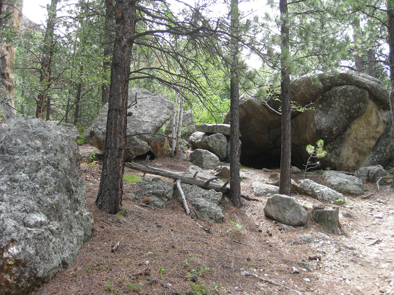
I have no idea who built this stone wall, but it was quite cool.


Taking a breather


Horsethief Lake Trail does exist!


This is the first time we've had to crawl under a fallen tree.


Anyone home?


Keep in mind we went backwards, which worked quite well.

"Aren't we having a great time?"

"No."


