This was an interesting one. You'd think with a guide book and GPS, we'd have little trouble staying on course, but you'd be wrong! As you can see from the map I conveniently provided for you this time around, we took a little scenic detour today. We'll get to that later, but let's start at the beginning.
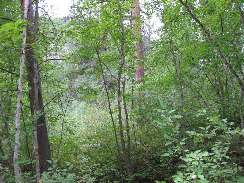
This trail is quite reminiscent of the last trail we hiked. It was unimpressive to begin with, but turned out to be a surprising winner. We began from the Rod & Gun Campground. There was little signage to indicate where we were to go. The trail at this place was not well established. Note to anyone planning to hike this trail - make sure your legs are completely covered. At least I can report that three hours after completing the hike, we still have no signs of poison ivy. As it ascended, the trail became rather rocky, littered with fallen trees, and almost precarious as it made its way along pretty steep slopes.
By the time we reached the main trail, things had improved. The trail was clearer and began to offer grand views of distant hills. Unfortunately, the skies remained overcast which created a somewhat hazy effect. One of my favorite parts were the few trees that already flaunted bright yellow foliage. With a temperature in the 50s, it was a preview of autumn.
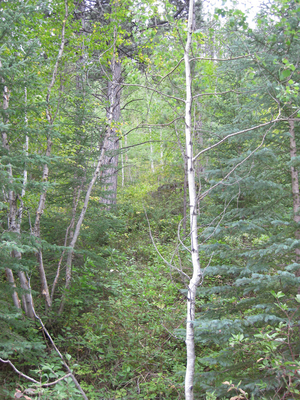
A little farther along, we came across an unmarked fork in the trail. As far as we could see, there was absolutely no way of know which path to take. We referenced our book which provided no assistance. Assuming the two would eventually reconnect, we made a decision by doing what any skilled hiker would do: "Eeny, meeny, miny, moe." We should have stopped at "miny."
The trail continued on as normal. It was well-worn and showed signs of fairly recent use. We checked our GPS map against that in book periodically to see if they appeared similar, and for quite some time they did. It was when we could see cars parked at Roughlock Falls that we knew we had ventured too far east. Sure enough, we were way off track. So we used our book to try and predict what trail we were on and where it might take us. Ultimately, we chose not to find out. We turned around and headed back to the junction. It was not until we concluded our hike that we discovered how far we had gone. On the plus side, we were able to see down into and across the canyon better on our detour than we would have otherwise.
Now for those of you who have read all our posts, you might be thinking back to Willow Creek. Thankfully, this was not nearly as concerning as that trip. The weather was pleasant and it was still early in the afternoon. Even though we knew we had plenty of ground to make up, we were confident we'd make it in fine time. In fact, we did a good job of maintaining a brisk pace on our return segment.
We all know it's imperative to learn from our mistakes, so here's your opportunity to learn from our mistake. If you're hiking the lower loop of Rimrock Trail in a clockwise direction and you come to a fork in the trail right after passing through the second gate, take a RIGHT!
Our new trail began taking us back down into the canyon. It was here that we treasured another one of those otherworldly experiences. Deep between the towering rock cliffs, surrounded by lush green vegetation, we were in an environment most people probably don't know exists in South Dakota. At first, I once again bemoaned the lack of wildlife, but immediately after making that comment, I realized this place provided something polar opposite but equally remarkable - silence. For only a short distance, the canyon was absolutely silent. Not even the wind made it this far down. (Now that really is something rare to find in South Dakota!) The only sound was from us. In hindsight, I wish we would have stopped to appreciate that a few moments more. It was awesome.
Sadly, it wasn't much longer and we were back to the terrain with which we began. The ground vegetation was tall and crowded the trail. Small trees also branched out across the trail so that a few snapped back and slapped me as Pamela released them. You could hear a creek nearby, but we almost never saw it. By the time we returned to the campground, we were ready to be finished.
I'm still on the fence about this trail. Quite a bit of it was unspectacular, but the few great spots were probably enough to make the whole thing worth the hike. And in any case, I will write what I said to Pamela today: Even on a less-than-perfect trail with less-than-perfect weather, spending a day with someone you love in the tranquility and beauty of God's creation is very nearly perfection.
Total Distance: 7.5 miles
Elevation Gain: 2,859 feet
Max. Elevation: 5,952 feet
Total Time: 3 hours, 5 minutes
Moving Time: 2 hours, 18 minutes
Average Moving Speed: 2.4 mph


As you can see in these two photos, you want to be careful to stay on the trail.

No "off-roading" allowed.


What happened to this tree?


You can see the cars parked at Roughlock Falls from this point.


Please go this way...

...NOT this way.


Ah, one of the markers that indicated we were back on the right path. The absence of these should have been our clue.


Headed down into the valley...

That's where we're headed.

A little farther...

Come on down, it's lovely!


Can anyone identify this plant?


Fortunately, we didn't have any issues here.


Our trail is in here somewhere.


At the very end of the hike, we finally caught a few glimpses of the creek.

No comments:
Post a Comment